
Washington Depot topographic map
Interactive map
Click on the map to display elevation.
About this map
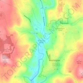
Name: Washington Depot topographic map, elevation, terrain.
Average elevation: 231 m
Minimum elevation: 131 m
Maximum elevation: 323 m
Other topographic maps
Click on a map to view its topography, its elevation and its terrain.
New Preston
United States > Connecticut > Northwest Hills Planning Region > Washington > New Preston
New Preston, Washington, Northwest Hills Planning Region, Connecticut, 06777, United States
Average elevation: 250 m