
Andrews topographic map
Interactive map
Click on the map to display elevation.
About this map
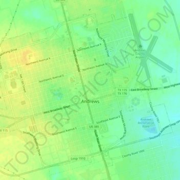
Name: Andrews topographic map, elevation, terrain.
Location: Andrews, Andrews County, Texas, USA (32.30271 -102.57387 32.34019 -102.52188)
Average elevation: 969 m
Minimum elevation: 957 m
Maximum elevation: 979 m