
Bandung topographic map
Interactive map
Click on the map to display elevation.
About this map
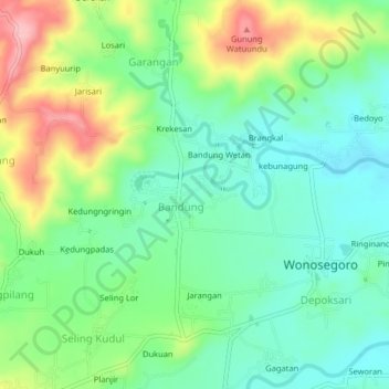
Name: Bandung topographic map, elevation, terrain.
Location: Bandung, Boyolali, Central Java, Indonesia (-7.31868 110.63410 -7.27868 110.67410)
Average elevation: 194 m
Minimum elevation: 141 m
Maximum elevation: 295 m