
Graham River topographic map
Interactive map
Click on the map to display elevation.
About this map
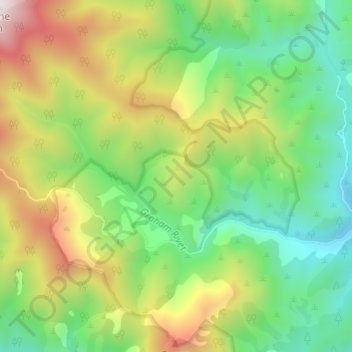
Name: Graham River topographic map, elevation, terrain.
Location: Graham River, Tasman, New Zealand (-41.20223 172.75176 -41.18263 172.81223)
Average elevation: 594 m
Minimum elevation: 137 m
Maximum elevation: 1,378 m
Other topographic maps
Click on a map to view its topography, its elevation and its terrain.