
Gálvez topographic map
Interactive map
Click on the map to display elevation.
About this map
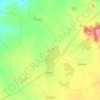
Name: Gálvez topographic map, elevation, terrain.
Location: Gálvez, Toledo, Castilla-La Mancha, España (39.66892 -4.33281 39.78422 -4.23657)
Average elevation: 689 m
Minimum elevation: 501 m
Maximum elevation: 1,023 m