
Marchand topographic map
Interactive map
Click on the map to display elevation.
About this map
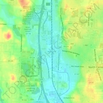
Name: Marchand topographic map, elevation, terrain.
Location: Marchand, Jackson Township, Stark County, Ohio, 44720, USA (40.86196 -81.44545 40.90196 -81.40545)
Average elevation: 343 m
Minimum elevation: 321 m
Maximum elevation: 376 m