
Grouse topographic map
Interactive map
Click on the map to display elevation.
About this map
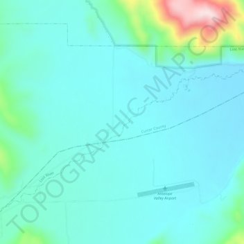
Name: Grouse topographic map, elevation, terrain.
Location: Grouse, Custer County, Idaho, USA (43.66824 -113.63252 43.70824 -113.59252)
Average elevation: 1,913 m
Minimum elevation: 1,849 m
Maximum elevation: 2,242 m