
Bayat topographic map
Interactive map
Click on the map to display elevation.
About this map
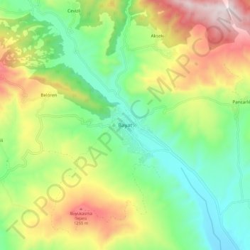
Name: Bayat topographic map, elevation, terrain.
Location: Bayat, Çorum, Black Sea Region, Turkey (40.60362 34.21790 40.68362 34.29790)
Average elevation: 916 m
Minimum elevation: 613 m
Maximum elevation: 1,407 m