
Manchester topographic map
Interactive map
Click on the map to display elevation.
About this map
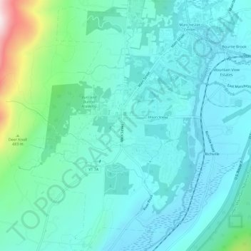
Name: Manchester topographic map, elevation, terrain.
Location: Manchester, Bennington County, Vermont, 05254, United States (43.13982 -73.09310 43.18134 -73.05131)
Average elevation: 306 m
Minimum elevation: 190 m
Maximum elevation: 853 m