
St. Paul topographic map
Interactive map
Click on the map to display elevation.
About this map
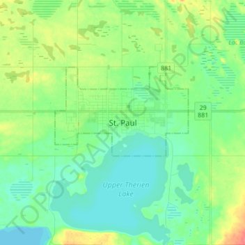
Name: St. Paul topographic map, elevation, terrain.
Location: St. Paul, Town of St. Paul, Alberta, T0A, Canada (53.94765 -111.33111 54.02765 -111.25111)
Average elevation: 645 m
Minimum elevation: 630 m
Maximum elevation: 680 m