
Pensacola topographic map
Interactive map
Click on the map to display elevation.
About this map
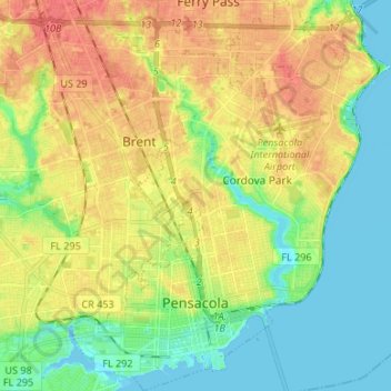
Name: Pensacola topographic map, elevation, terrain.
Location: Pensacola, Escambia County, Florida, United States (30.39554 -87.25889 30.51049 -87.14972)
Average elevation: 21 m
Minimum elevation: -3 m
Maximum elevation: 46 m
The land is sloped up northward from Pensacola Bay, with most of the city at an elevation above that which a potential hurricane storm surge could affect.