
Bow Island topographic map
Interactive map
Click on the map to display elevation.
About this map
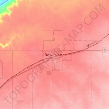
Name: Bow Island topographic map, elevation, terrain.
Location: Bow Island, Division No. 1, Alberta, T0K 0G0, Canada (49.83017 -111.41895 49.91017 -111.33895)
Average elevation: 795 m
Minimum elevation: 691 m
Maximum elevation: 818 m
Other topographic maps
Click on a map to view its topography, its elevation and its terrain.
Schuler
Canada > Alberta > Division No. 1
Schuler, Division No. 1, Alberta, Canada
Average elevation: 801 m