
Webbwood topographic map
Interactive map
Click on the map to display elevation.
About this map
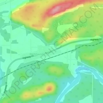
Name: Webbwood topographic map, elevation, terrain.
Average elevation: 219 m
Minimum elevation: 173 m
Maximum elevation: 308 m
Other topographic maps
Click on a map to view its topography, its elevation and its terrain.
Agnew Lake
Canada > Ontario > Sables-Spanish Rivers
Agnew Lake, Powell Drive, Sables-Spanish Rivers, Sudbury District, Ontario, Canada
Average elevation: 288 m