
Wyoming topographic map
Interactive map
Click on the map to display elevation.
About this map
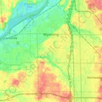
Name: Wyoming topographic map, elevation, terrain.
Location: Wyoming, Kent County, Michigan, USA (42.85053 -85.78228 42.94221 -85.64113)
Average elevation: 204 m
Minimum elevation: 178 m
Maximum elevation: 236 m