
Merthyr Tydfil topographic map
Interactive map
Click on the map to display elevation.
About this map
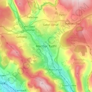
Name: Merthyr Tydfil topographic map, elevation, terrain.
Location: Merthyr Tydfil, Wales, CF47 8LA, United Kingdom (51.70906 -3.41862 51.78906 -3.33862)
Average elevation: 313 m
Minimum elevation: 117 m
Maximum elevation: 530 m