
Leonardville topographic map
Interactive map
Click on the map to display elevation.
About this map
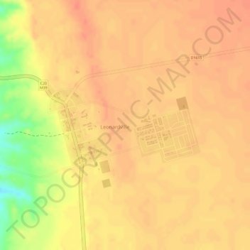
Name: Leonardville topographic map, elevation, terrain.
Location: Leonardville, Omaheke, Namibia (-23.51169 18.78300 -23.49510 18.80320)
Average elevation: 1,268 m
Minimum elevation: 1,228 m
Maximum elevation: 1,278 m