
Ligne topographic map
Interactive map
Click on the map to display elevation.
About this map
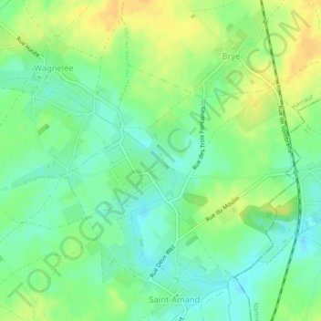
Name: Ligne topographic map, elevation, terrain.
Location: Ligne, Fleurus, Charleroi, Henegouwen, Wallonië, 6221, België (50.51275 4.54252 50.51795 4.54972)
Average elevation: 146 m
Minimum elevation: 133 m
Maximum elevation: 161 m