
Harcourt topographic map
Interactive map
Click on the map to display elevation.
About this map
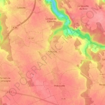
Name: Harcourt topographic map, elevation, terrain.
Average elevation: 135 m
Minimum elevation: 72 m
Maximum elevation: 155 m
Other topographic maps
Click on a map to view its topography, its elevation and its terrain.
Berville-sur-Mer
France > Normandy > Eure > Berville-sur-Mer
Berville-sur-Mer, Bernay, Eure, Normandy, Metropolitan France, 27210, France
Average elevation: 30 m
Le Val-David
France > Normandy > Eure > Le Val-David
Le Val-David, Évreux, Eure, Normandy, Metropolitan France, 27120, France
Average elevation: 133 m
Mandeville
Mandeville, Bernay, Eure, Normandy, Metropolitan France, 27370, France
Average elevation: 157 m