
Laird topographic map
Interactive map
Click on the map to display elevation.
About this map
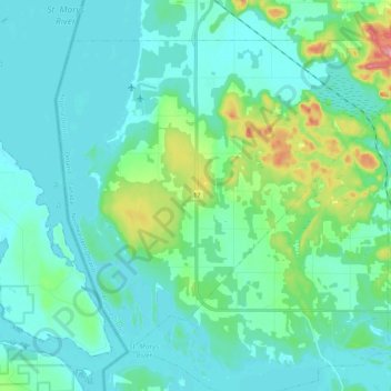
Name: Laird topographic map, elevation, terrain.
Location: Laird, Algoma District, Ontario, Canada (46.32197 -84.14606 46.44181 -83.92848)
Average elevation: 195 m
Minimum elevation: 173 m
Maximum elevation: 302 m