
Souk Oufella topographic map
Interactive map
Click on the map to display elevation.
About this map
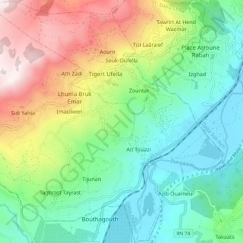
Name: Souk Oufella topographic map, elevation, terrain.
Location: Souk Oufella, Chemini District, Bejaia, 06042, Algeria (36.55408 4.58941 36.62233 4.67400)
Average elevation: 489 m
Minimum elevation: 86 m
Maximum elevation: 1,291 m