
Fuencalderas topographic map
Interactive map
Click on the map to display elevation.
About this map
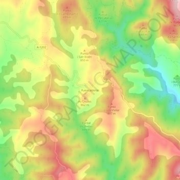
Name: Fuencalderas topographic map, elevation, terrain.
Location: Fuencalderas, Cinco Villas, Saragosse, Aragon, Espagne (42.34032 -0.91280 42.38032 -0.87280)
Average elevation: 814 m
Minimum elevation: 664 m
Maximum elevation: 953 m