
Midwest City topographic map
Interactive map
Click on the map to display elevation.
About this map
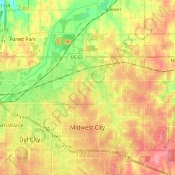
Name: Midwest City topographic map, elevation, terrain.
Location: Midwest City, Oklahoma County, Oklahoma, USA (35.43320 -97.42413 35.51516 -97.29061)
Average elevation: 371 m
Minimum elevation: 329 m
Maximum elevation: 405 m