
Villa de Cura topographic map
Interactive map
Click on the map to display elevation.
About this map
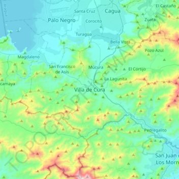
Name: Villa de Cura topographic map, elevation, terrain.
Location: Villa de Cura, Aragua, 2126, Venezuela (9.99575 -67.52616 10.07575 -67.44616)
Average elevation: 618 m
Minimum elevation: 482 m
Maximum elevation: 1,154 m