
Gateway topographic map
Interactive map
Click on the map to display elevation.
About this map
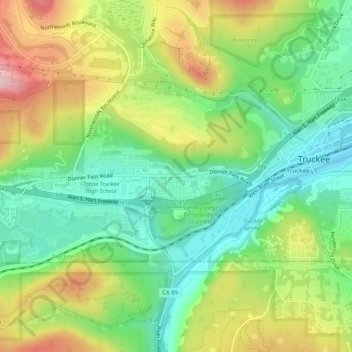
Name: Gateway topographic map, elevation, terrain.
Location: Gateway, Nevada County, California, 96161, USA (39.30602 -120.22353 39.34602 -120.18353)
Average elevation: 1,865 m
Minimum elevation: 1,760 m
Maximum elevation: 2,027 m