
Stupava topographic map
Interactive map
Click on the map to display elevation.
About this map
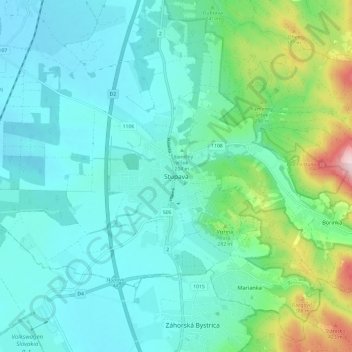
Name: Stupava topographic map, elevation, terrain.
Location: Stupava, Region of Bratislava, 900 31, Slovakia (48.23313 16.99275 48.31313 17.07275)
Average elevation: 215 m
Minimum elevation: 140 m
Maximum elevation: 527 m