
Planá topographic map
Interactive map
Click on the map to display elevation.
About this map
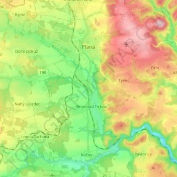
Name: Planá topographic map, elevation, terrain.
Location: Planá, okres Tachov, Regio Pilsen, Jihozápad, 34815, Tsjechië (49.79638 12.70723 49.89410 12.84134)
Average elevation: 521 m
Minimum elevation: 417 m
Maximum elevation: 660 m