
Edgewood topographic map
Interactive map
Click on the map to display elevation.
About this map
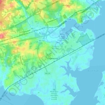
Name: Edgewood topographic map, elevation, terrain.
Location: Edgewood, Harford County, Maryland, USA (39.38041 -76.34854 39.46646 -76.24735)
Average elevation: 14 m
Minimum elevation: -4 m
Maximum elevation: 75 m