
Unity topographic map
Interactive map
Click on the map to display elevation.
About this map
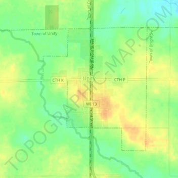
Name: Unity topographic map, elevation, terrain.
Location: Unity, Clark County, Wisconsin, USA (44.84060 -90.32640 44.85934 -90.30412)
Average elevation: 405 m
Minimum elevation: 389 m
Maximum elevation: 418 m