
Grimes topographic map
Interactive map
Click on the map to display elevation.
About this map
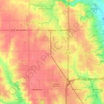
Name: Grimes topographic map, elevation, terrain.
Location: Grimes, Polk County, Iowa, 50111, United States of America (41.63297 -93.84592 41.71090 -93.75588)
Average elevation: 293 m
Minimum elevation: 251 m
Maximum elevation: 312 m