
Lakewood topographic map
Interactive map
Click on the map to display elevation.
About this map
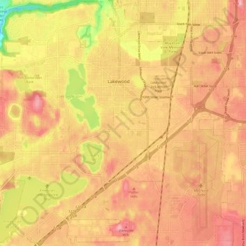
Name: Lakewood topographic map, elevation, terrain.
Location: Lakewood, Pierce County, Washington, USA (47.11806 -122.57942 47.19814 -122.46446)
Average elevation: 81 m
Minimum elevation: 0 m
Maximum elevation: 124 m