
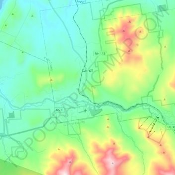
Carroll topographic map
Interactive map
Click on the map to display elevation.
About this map
Name: Carroll topographic map, elevation, terrain.
Location: Carroll, Coös County, New Hampshire, USA (44.21217 -71.59632 44.35544 -71.39487)
Average elevation: 562 m
Minimum elevation: 308 m
Maximum elevation: 1,274 m