
As Ermitas topographic map
Interactive map
Click on the map to display elevation.
About this map
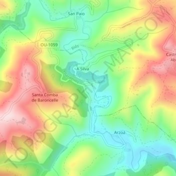
Name: As Ermitas topographic map, elevation, terrain.
Location: As Ermitas, Vilardevós, Verín, Orense, Galicia, 32610, España (41.93193 -7.23021 41.95193 -7.21021)
Average elevation: 673 m
Minimum elevation: 536 m
Maximum elevation: 849 m