
Tronceda topographic map
Interactive map
Click on the map to display elevation.
About this map
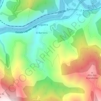
Name: Tronceda topographic map, elevation, terrain.
Location: Tronceda, Ribas de Sil, Lugo, Galicia, 27317, Spain (42.44064 -7.33721 42.46064 -7.31721)
Average elevation: 477 m
Minimum elevation: 217 m
Maximum elevation: 901 m