
Brazeau topographic map
Interactive map
Click on the map to display elevation.
About this map
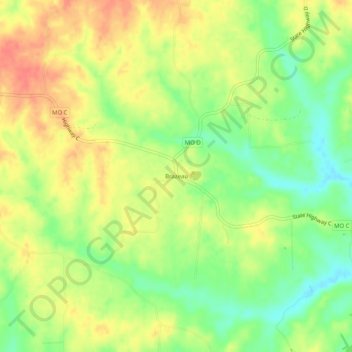
Name: Brazeau topographic map, elevation, terrain.
Location: Brazeau, Perry County, Missouri, 63737, United States (37.64116 -89.67288 37.68116 -89.63288)
Average elevation: 167 m
Minimum elevation: 137 m
Maximum elevation: 193 m