
Thynes topographic map
Interactive map
Click on the map to display elevation.
About this map
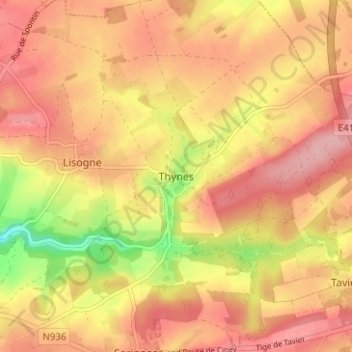
Name: Thynes topographic map, elevation, terrain.
Location: Thynes, Dinant, Namur, Wallonie, 5503, Belgique (50.25982 4.96827 50.29982 5.00827)
Average elevation: 250 m
Minimum elevation: 163 m
Maximum elevation: 298 m