
Marden topographic map
Interactive map
Click on the map to display elevation.
About this map
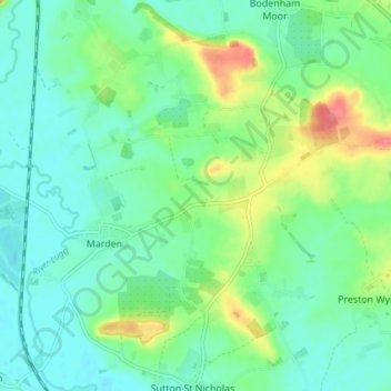
Name: Marden topographic map, elevation, terrain.
Location: Marden, Herefordshire, West Midlands, England, United Kingdom (52.10661 -2.72423 52.15283 -2.65108)
Average elevation: 71 m
Minimum elevation: 51 m
Maximum elevation: 122 m