
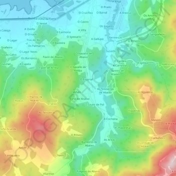
A Redonda topographic map
Interactive map
Click on the map to display elevation.
About this map
Name: A Redonda topographic map, elevation, terrain.
Location: A Redonda, Ortegal, Galicia, 15330, España (43.62511 -7.87489 43.66511 -7.83489)
Average elevation: 125 m
Minimum elevation: -1 m
Maximum elevation: 369 m