
Chier topographic map
Interactive map
Click on the map to display elevation.
About this map
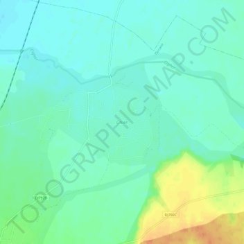
Name: Chier topographic map, elevation, terrain.
Location: Chier, Arad, 317362, Romania (46.32200 21.80489 46.36200 21.84489)
Average elevation: 120 m
Minimum elevation: 109 m
Maximum elevation: 146 m