
Damwâld topographic map
Interactive map
Click on the map to display elevation.
About this map
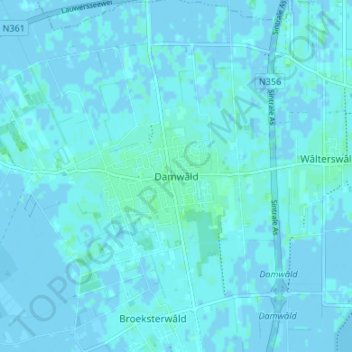
Name: Damwâld topographic map, elevation, terrain.
Location: Damwâld, Dantumadiel, Friesland, Nederland, 9104, Nederland (53.27032 5.97932 53.31032 6.01932)
Average elevation: 1 m
Minimum elevation: -4 m
Maximum elevation: 5 m