
Orto topographic map
Interactive map
Click on the map to display elevation.
About this map
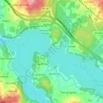
Name: Orto topographic map, elevation, terrain.
Location: Orto, Abegondo, A Coruña, Galicia, España (43.26819 -8.29627 43.29116 -8.26615)
Average elevation: 53 m
Minimum elevation: 19 m
Maximum elevation: 128 m