
Brownsburg topographic map
Interactive map
Click on the map to display elevation.
About this map
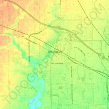
Name: Brownsburg topographic map, elevation, terrain.
Location: Brownsburg, Hendricks County, Indiana, 46112, United States (39.79984 -86.43963 39.87935 -86.32681)
Average elevation: 271 m
Minimum elevation: 248 m
Maximum elevation: 287 m
Other topographic maps
Click on a map to view its topography, its elevation and its terrain.
Plainfield
United States > Indiana > Hendricks County
Plainfield, Hendricks County, Indiana, 46168, United States
Average elevation: 236 m