
Burdett topographic map
Interactive map
Click on the map to display elevation.
About this map
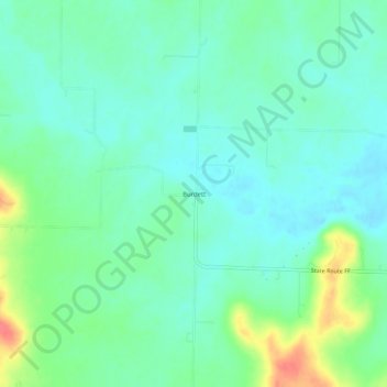
Name: Burdett topographic map, elevation, terrain.
Location: Burdett, Bates County, Missouri, United States (38.41363 -94.50273 38.45363 -94.46273)
Average elevation: 274 m
Minimum elevation: 258 m
Maximum elevation: 315 m