
Liscomb topographic map
Interactive map
Click on the map to display elevation.
About this map
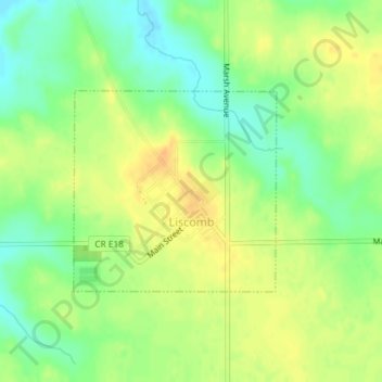
Name: Liscomb topographic map, elevation, terrain.
Location: Liscomb, Marshall County, Iowa, United States (42.18423 -93.01621 42.19846 -92.99681)
Average elevation: 299 m
Minimum elevation: 282 m
Maximum elevation: 313 m
Other topographic maps
Click on a map to view its topography, its elevation and its terrain.
Marshalltown
United States > Iowa > Marshall County
Marshalltown, Marshall County, Iowa, 50158, United States
Average elevation: 283 m