
Adams Lake topographic map
Interactive map
Click on the map to display elevation.
About this map
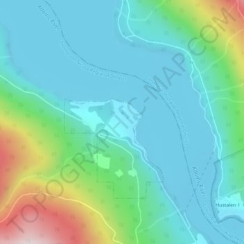
Name: Adams Lake topographic map, elevation, terrain.
Average elevation: 507 m
Minimum elevation: 399 m
Maximum elevation: 887 m
Other topographic maps
Click on a map to view its topography, its elevation and its terrain.
Little Shuswap Lake
Canada > British Columbia > Chase
Little Shuswap Lake, Trans-Canada Highway, Chase, Thompson-Nicola Regional District, British Columbia, V0E 1M0, Canada
Average elevation: 525 m
Little Shuswap Lake
Canada > British Columbia > Chase
Little Shuswap Lake, Chase, Thompson-Nicola Regional District, British Columbia, Canada
Average elevation: 525 m