
Cathedral Park topographic map
Interactive map
Click on the map to display elevation.
About this map
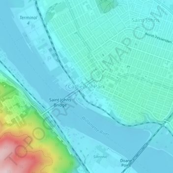
Name: Cathedral Park topographic map, elevation, terrain.
Average elevation: 46 m
Minimum elevation: 1 m
Maximum elevation: 300 m
Other topographic maps
Click on a map to view its topography, its elevation and its terrain.
Middle Fork Beaver Creek
United States of America > Oregon > Portland
Middle Fork Beaver Creek, Portland, Multnomah County, Oregon, 97009, United States of America
Average elevation: 178 m