
Sochaczew topographic map
Interactive map
Click on the map to display elevation.
About this map
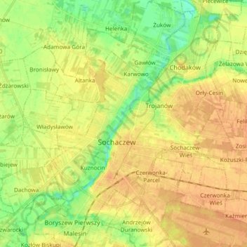
Name: Sochaczew topographic map, elevation, terrain.
Location: Sochaczew, powiat sochaczewski, Masovian Voivodeship, Poland (52.19107 20.18838 52.28146 20.30068)
Average elevation: 84 m
Minimum elevation: 66 m
Maximum elevation: 96 m