
Mitchell topographic map
Interactive map
Click on the map to display elevation.
About this map
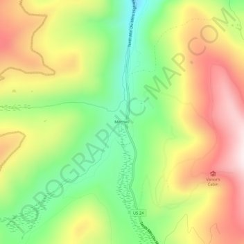
Name: Mitchell topographic map, elevation, terrain.
Location: Mitchell, Eagle County, Colorado, United States (39.37165 -106.33919 39.41165 -106.29919)
Average elevation: 3,172 m
Minimum elevation: 2,908 m
Maximum elevation: 3,467 m