
Guangzhou City topographic map
Interactive map
Click on the map to display elevation.
About this map
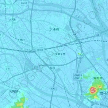
Name: Guangzhou City topographic map, elevation, terrain.
Location: 东涌镇, Nansha District, Guangzhou City, Guangdong, China (22.79818 113.35598 22.91105 113.50551)
Average elevation: 3 m
Minimum elevation: -13 m
Maximum elevation: 198 m
Other topographic maps
Click on a map to view its topography, its elevation and its terrain.
Xiaoguwei
China > Guangdong > Guangzhou City
Xiaoguwei, Xiaoguwei Subdistrict, Panyu District, Guangzhou City, Guangdong, 510006, China
Average elevation: 7 m
Jinshazhou
China > Guangdong > Guangzhou City
Jinshazhou, Baiyun, Baiyun District, Guangzhou City, Guangdong, China
Average elevation: 7 m