
Hedley topographic map
Interactive map
Click on the map to display elevation.
About this map
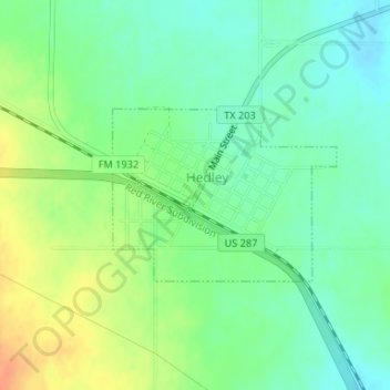
Name: Hedley topographic map, elevation, terrain.
Location: Hedley, Donley County, Texas, United States (34.86141 -100.66741 34.87338 -100.64845)
Average elevation: 800 m
Minimum elevation: 784 m
Maximum elevation: 825 m