
Howard Mill topographic map
Interactive map
Click on the map to display elevation.
About this map
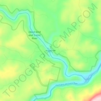
Name: Howard Mill topographic map, elevation, terrain.
Location: Howard Mill, Morgan County, Tennessee, 37770, United States (36.08257 -84.73661 36.12257 -84.69661)
Average elevation: 402 m
Minimum elevation: 286 m
Maximum elevation: 588 m